

Table of Contents
The romanticized version of long-term RV travel rarely includes the mandatory, mundane logistics of survival. The travel shows on television love to depict massive rigs parked flawlessly in pristine, postcard-perfect locations. They rarely show you the meticulously mapped-out routes required just to find affordable fuel, track down lower-taxed tobacco, or restock a bare pantry.
When you are living on the road, your entire schedule is dictated by these ordinary supply runs. But in the desert borderlands where California meets Arizona, those mundane errands have a strange way of colliding directly with complex tribal sovereignty, invisible legal wars, and ancient history.
The Freedom of Being Stationary

One of the greatest tactical moves we made when setting up our first five-month winter base camp was securing a seasonal site at Echo Lodge Resort along the Parker Strip it is located near the territory of CRIT – the Colorado Indian River Tribes . As we discussed in our Guide to Booking RV Sites, planning your location well in advance saves your sanity and gives you a stable home base. Because we were stationary, we didn’t have to white-knuckle our 36-foot fifth-wheel trailer through tight town intersections or stress about overhead clearance every time we needed bread or milk. Our rig stayed safely dropped and unhitched at the resort, functioning as a stable home base.
When it was time to handle our logistical runs, we had the ultimate freedom: we could jump into the truck alone and move nimbly down the highway. What would have been a grueling, stressful ordeal in a heavy setup became a quick, nimble afternoon drive.
The Borderland Paradox: Desert Sun & Emerald Grass

Cruising south out of Parker in just the truck, the view through the windshield presents a bizarre visual paradox. You are driving through one of the most hyper-arid, sun-baked desert corridors in North America, yet the valley floors on either side of the highway are blanketed in blindingly bright, emerald-green grass.
This is the Palo Verde Valley, a region defined by extensive industrial agriculture. Because the area enjoys an almost limitless growing season and senior water allocations, massive agribusinesses—including foreign-backed conglomerates from Saudi Arabia and the UAE—have bought up thousands of acres of land. They pump water continuously from the deep aquifers and the mainstream Colorado River to grow water-intensive alfalfa and forage crops, harvesting the grass to ship across the globe to feed international dairy herds. You can drive for miles surrounded by a parched, dusty landscape, only to look out your window and see rows of lush, green fields stretching toward the jagged mountain horizons.
The Invisible War for the West Bank

The stark contrast between the two sides of the river dictates exactly how you plan your day. The Arizona side is an active pipeline of tribal plazas, municipal offices, and riverside commerce. But the moment you cross the bridge into that specific eastern strip of California, the landscape drops into a total commercial vacuum. For miles, the California highway corridor goes completely blank. There are no services, no gas stations, and no storefronts—whether CRIT or U.S.-owned. It is a vast, sun-baked void where the modern infrastructure of convenience simply ceases to exist.
This total absence of commerce isn’t an accident of geography; it is the physical scar of an invisible, century-long legal war between Colorado River Indian Tribes (CRIT) sovereignty and the State of California.

The roots of this vacancy go back to an 1874 Executive Order signed by President Ulysses S. Grant, which expanded the reservation across the water to protect the tribes from encroaching settlers. This absorbed a massive strip of land on the California west bank. For over a hundred years, California openly refused to recognize that this land belonged to the reservation.
The fight wasn’t just over dirt—it was a multi-billion-dollar war over river water. Under western law, the oldest land titles get the first and heaviest allocations of the river. If California officially recognized tribal ownership of the west bank, the CRIT would hold the most senior legal rights to billions of gallons of water that California’s coastal mega-cities and agricultural empires desperately wanted for themselves.
Because the boundary line was trapped in a relentless cycle of federal lawsuits and Supreme Court decrees, the land became economically radioactive. Corporate chains refused to build on property with contested deeds, and the CRIT focused their investments—like the neon-lit BlueWater Resort & Casino—on the secure ground of the Arizona side. The California strip was left in a permanent development freeze.
Driving Past Giants on a Weed and Grocery Run
Because of this vacancy, our routine errands required a highly specific strategy. We would drive south through the active, smooth pavement of the Arizona corridor, completely bypassing the empty California strip. We only crossed the river once we dropped straight into the northern edge of the town of Blythe, California.
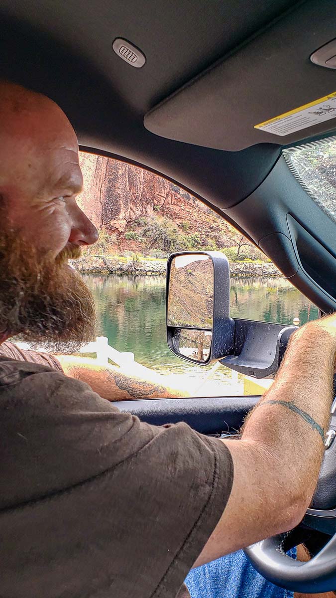
One afternoon, “The Man” and I were making this exact run in the truck. It was a completely ordinary, unglamorous trip to stock up on groceries, look for better cigarette prices at the tribal smoke shops, and pick up dispensary supplies. We were completely focused on the immediate, cheap realities of the day—especially since we were still recovering from the massive sticker shock of trying to shop at remote military Post Exchanges (PX) out west. On the East Coast, a base PX can save a traveler a fortune, but remote western outposts often feature highly inflated supply-chain pricing that turns a planned discount haul into an expensive lesson in logistics.

Etched directly into the dark desert pavement just feet from the highway are massive, ancient geoglyphs created centuries ago by indigenous hands. They were formed by scraping away the sun-baked, dark surface pebbles to expose the stark, light-colored soil underneath. Because they are so immense—the largest human figure stretches a staggering 171 feet from head to toe—they are nearly impossible to fully appreciate from ground level. You can look right through the passenger side window and see nothing but flat gravel flats, entirely unaware that the ancient shapes of mythic creators (Mastamho) and spirit mountain lions (Hatakulya) are staring up at the desert sky right beside the asphalt. I deeply wished we had pulled over.
The Creator in the Clay
The towering 171-foot human figure at the Blythe Intaglios represents Mastamho, the great creator deity of the Mohave and Quechan tribes. Indigenous oral tradition says he created the Colorado River by driving a staff into the ground and shaping its banks with his canoe. His arms are stretched wide in the gravel—a sacred pose meant to symbolize eternal protection over the desert floor.
As we rolled up U.S. 95 near Blythe, we drove right past the Blythe Intaglios. At the time, we had absolutely no idea what they were, and we didn’t stop. It wasn’t until later, diving down one of my late-night internet research rabbit holes, that I realized exactly what we had missed.
The Pink Landmark & the Bureaucratic Pit Stop

When you finally break out of the empty zones and hit the commercial streets of Blythe, civilization welcomes you back with landmarks born of pure utility. Right along Hobsonway sits a distinctive, bright pink Chinese restaurant called China Garden. The food inside rarely lives up to the vibrant, pastel promise of the exterior—much like the rest of the uninspired diner food scattered throughout the Parker area—but the building itself serves as an unavoidable visual anchor. It stands as a colorful signpost proving you have successfully navigated the legal limbo of the border strip and returned to the predictable rhythms of civilization.
Yet, for all the clunky logistics, uneven base pricing, and mediocre road food, these river communities provide essential lifelines. It was during this stationary winter stay on the river, tucked away in the quiet municipal offices of Parker, Arizona, that “The Man” and I officially applied for and secured our United States passports.
It stands as a grounding memory from our time on the road. Even when you are living completely on the move—navigating complex state lines, dropping your fifth-wheel at a waterfront resort, and hunting for cheap cigarettes and weed right next to ancient holy sites—you are still anchored to the official structures of the vast, paradoxical country you are busy exploring.
Did You Know? The Epic Water War of Arizona v. California
The endless fields of green grass stretching across this parched desert are the direct result of the longest, most expensive water war in United States history.
- The Core Dispute: Culminating in a monumental 1963 Supreme Court decision, the state of Arizona sued California to stop its rapidly growing coastal mega-cities and massive agricultural valleys from entirely swallowing the flow of the Colorado River.
- The Tribal Intervenors: The federal government stepped into the litigation to secure ancient water rights for five local river reservations, including the Mohave and Chemehuevi tribes of the Colorado River Indian Tribes (CRIT) alliance.
- The Victory: The Supreme Court ruled that when the federal government originally created these reservations, it implicitly reserved the water required to make those lands livable. This gave CRIT some of the oldest, most senior “present perfected rights” to the river’s mainstream flow.
- The Paradox: Because those historic rights apply strictly to practicably irrigable acreage, billions of gallons of precious river water remain legally locked into growing massive fields of industrial grass right in the middle of a parched desert environment.

Shifting Gears: From Ancient Footprints to Frontier Legends
Once your eyes adapt to the hidden layers of this desert, you stop seeing empty highway miles and start noticing the ghosts. The road between our base camp at Echo Lodge and the dusty supply hubs of the valley is a corridor through time, where ancient indigenous paths eventually became the literal trails of Western legend.
As we packed our fresh supplies back into the truck and turned north toward the resort, we weren’t just driving away from ancient geoglyphs and modern legal standoffs. We were heading right into the winter stomping grounds of the Old West’s most iconic lawman. Because long before the highway was built, or casinos lined the waterfront, characters like Wyatt Earp came to these exact banks of the Colorado River to escape their own explosive histories—trading the smoking guns of the O.K. Corral for the quiet, sun-baked promise of local gold and silver claims.
The desert doesn’t just hide ancient giants—it hides frontier legends. Come back next week as we turn north, cross back over the river, and trace the footsteps of Wyatt Earp to his secret winter mining claims in the Whipple Mountains.
Coming Next Week — Part 4: Frontier Legends & Wyatt Earp’s Final Gold Claims. Stay tuned!

Leave a Reply